Lands Department
Precision in surveying, innovation in GIS, and transparency in land management.
OUR ROADMAP
Strategic Priorities
Sustainable Land Management
Creating a platform and work structure for sustainable practices.
HR Development & Planning
Long-term planning and capacity building.
- Enhancing management capabilities
Customer Management
Improving client interaction and service delivery management.
Department Efficiency
Stakeholder collaboration and data sharing frameworks.
Digitalization
Scanning old files and launching the Survey online platform.
OUR CORE DIVISIONS
Specialized Land Services
Select a division to filter services and view live performance metrics.
Survey
- Government Surveys
- Cadastral Mapping
- Examination of Private Surveys
- Geodetic Control
Lands
- Lands Management
- Lease Management
- Inventory of Government Assets
- Valuation
GIS
- WebGIS
- Enterprise GIS Management
- NSDI
Select a division above to view live performance statistics
Citizen Service Guides
Interactive workflows for land-related applications.
Service Description
Application for Land Bank/ State Land
Official Step-by-Step Process
Land application completed and submitted
Application vetted
Application matures after 3 years
Applicant completes intake form and attach relevant documents – ID, pay slip, letter of financial ability, marriage certificate if any
Application vetted and placed on the Ageing List (if all is in order) pending allocation.
Service Description
Application for Exchange of Land for Land
Official Step-by-Step Process
Service Description
Application for Part of Parcel
Official Step-by-Step Process
Service Description
Application For Surveyed Land (standalone/amalgamation)
Official Step-by-Step Process
Letter or applicant completes and submits form of request with relevant documents – ID, payslip, letter of financial ability, birth certificate (to confirm relationship if it is an adjacent to relative’s case)
Due diligence
Technical Site Visit
Consultations
Valuations
Recommendations for Management Decision
Client informed
Beacon relocation
Payment & Early entry
Exemption of stamp duty and finally AG for transfer
Service Description
Application Land Adjacent to Relatives
Official Step-by-Step Process
Service Description
Encroachment (GOS into Private or vice versa)
Official Step-by-Step Process
Letter or applicant complete and submits form of request with relevant documents – site layout if any
Technical Site Visit
Recommendations for Management Decision
Client informed
Survey process (can be private)
Valuations
Beacon relocation
Offer & Payment
Core Department Functions
Powering sustainable development through precision and efficient governance.

Land Registration Project
Technical process involving the systematic identification, surveying and confirmation of boundaries, procedures of possession, ownership, and any other rights of land.
View More
Spatial Infrastructure
The backbone of national mapping through precision geodetic networks and standards.
Technical Specs
Geo-Spatial (GIS)
Leveraging advanced systems to provide real-time mapping data for informed decision-making.
Access PortalDocument Portal
Access official application forms, guidelines, and policy frameworks for land management in one central location.
We are committed to providing you with the most current and reliable information. To ensure absolute accuracy, we maintain a central hub for all official land management forms, guidelines, and policy frameworks

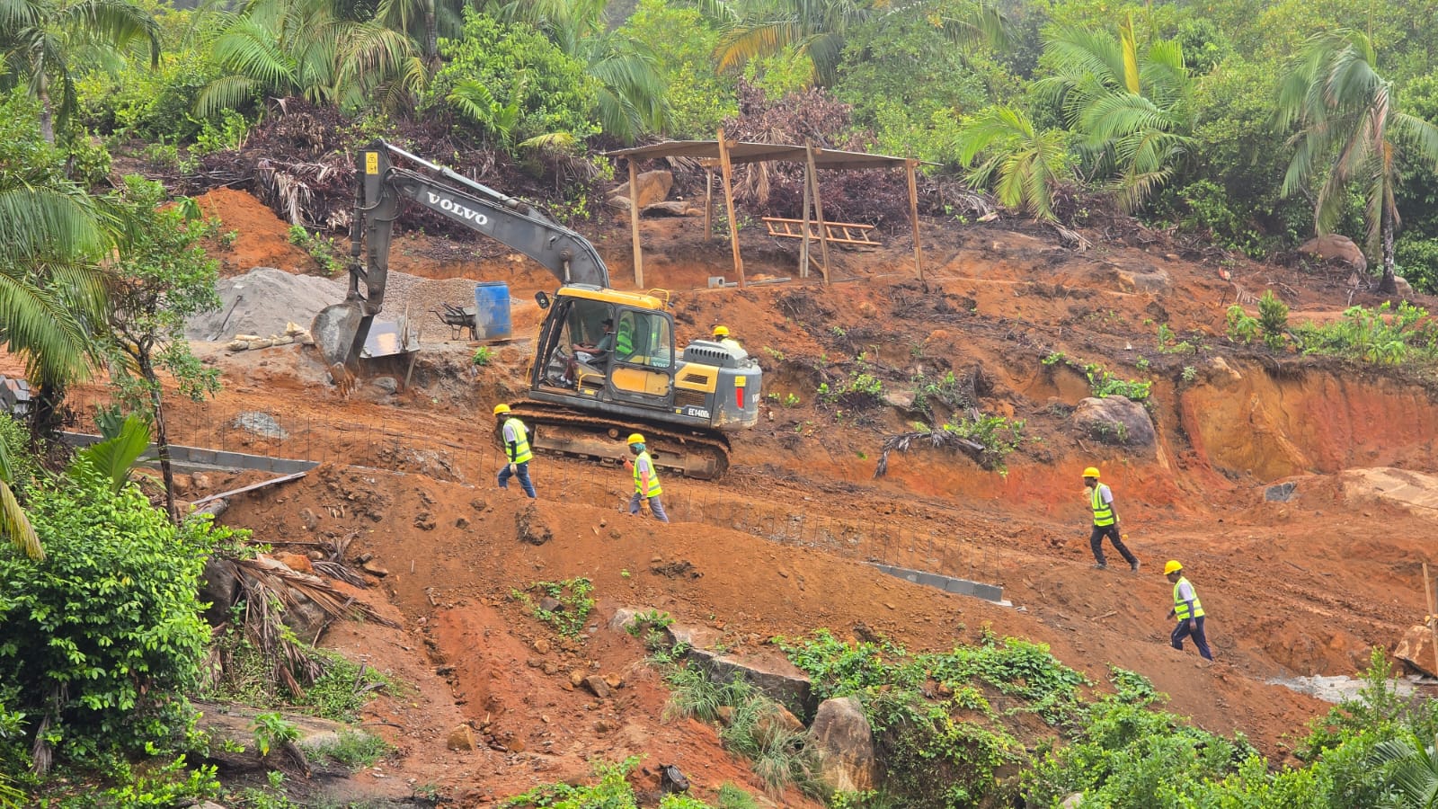
Gallery - Field Survey Operations
Ensuring accurate boundary mapping across Seychelles.

Geospatial Planning
Modern tools for sustainable land management.
Topographic Analysis
Mapping the unique terrain of our islands.