Mapping the Heart of the Archipelago
Explore the official geospatial framework. From cadastral boundaries to environmental layers, access the intelligence that shapes our land.
Access Gateways
Tailored experiences for every user level
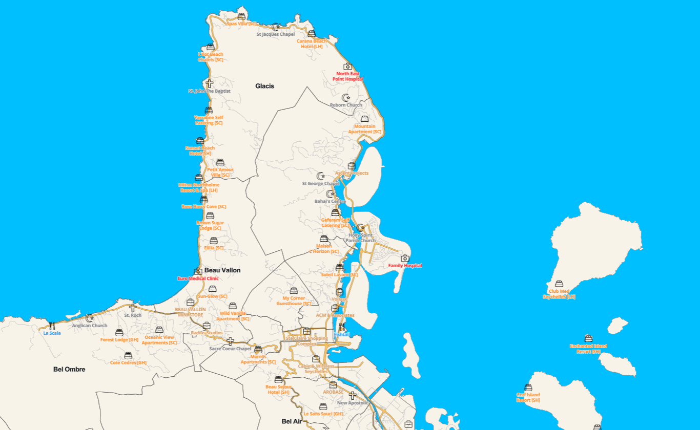
Public Portal
General land information, zoning, and public interest layers.
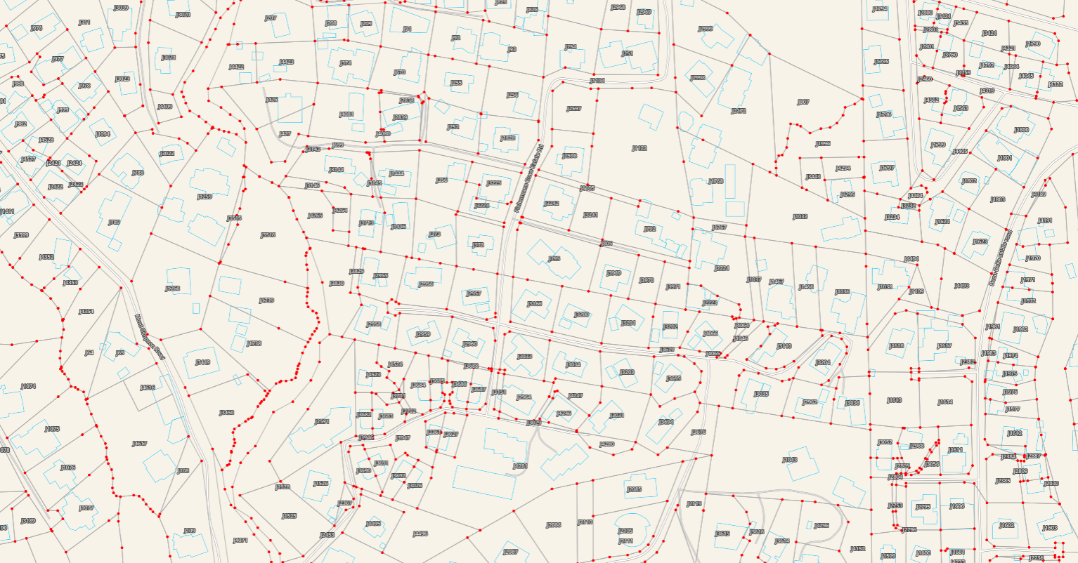
Partner Portal
API access, raw data downloads, developer tools, Institutional data sharing, collaboration & Management.
ADVANCED CAPABILITIES
Powerful Tools for Precision
Experience the next generation of spatial analysis with our upgraded toolkit, designed for both professionals and citizens.
Master Search
Locate parcels, coordinates, and landmarks instantly across all layers.
Measure Areas & Lengths
High-precision tools for calculating setbacks, boundaries, and land size.
Shape Drawing & Annotation
Markup maps with custom polygons and notes for planning purposes.
Print & Export
Generate high-resolution PDF maps with legends and scale bars.

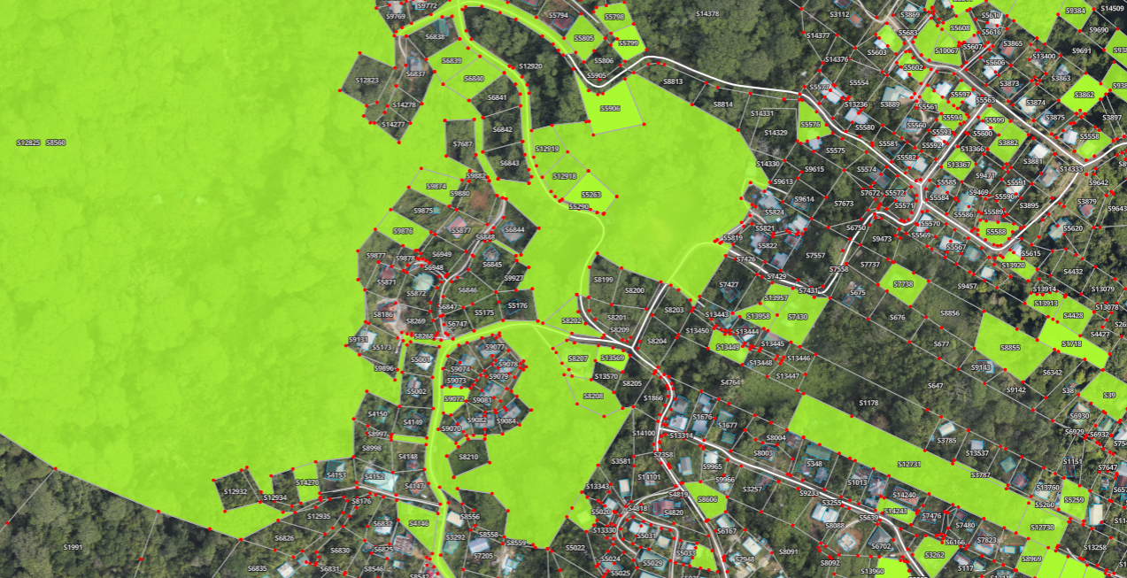
EXPLORE DATA THEMES
The Information Layers
Toggle between specialized geospatial datasets for comprehensive analysis.


WebGIS Help & Feedback
Have an issue, request or a suggestion? Let us know.